Jining
Prefecture-level city in Shandong, birthplace of Confucius.

David290 · CC BY-SA 4.0
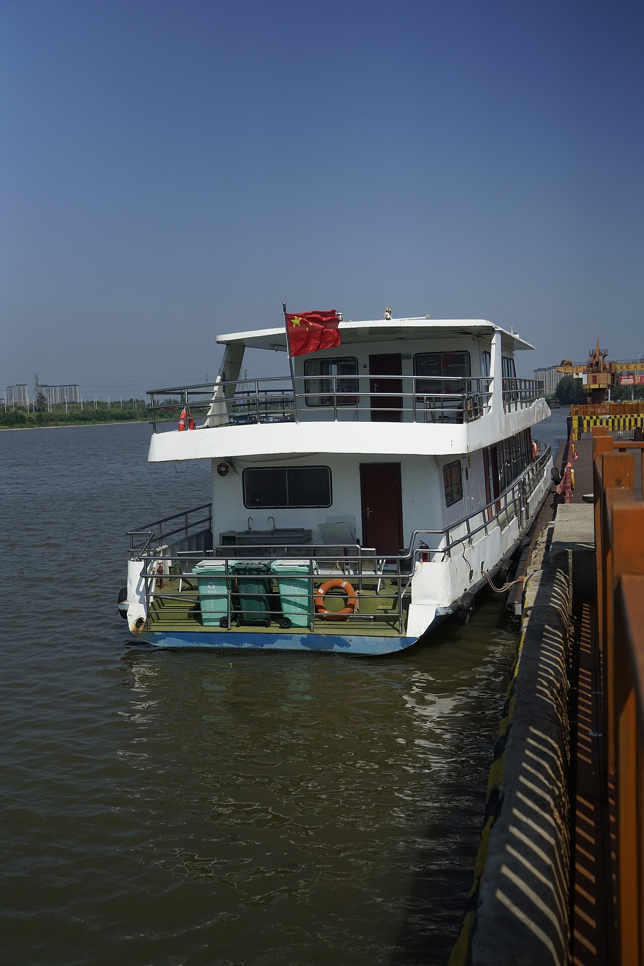
Jining is a prefecture-level city in southwestern Shandong province, China. It is historically significant as the birthplace and home of Confucius and many of his disciples, including Mencius, and as the setting of the literary classic Water Margin. Today it is the northernmost city reachable by navigation on the Grand Canal, making it an important inland port.
- average_temperature
- 13.3–14.1 °C
Lore & Background
In antiquity it was the birthplace and home of Confucius, along with many of his disciples, including Mencius. Temples to these philosophers still exist in various parts of the prefecture. Liangshan, a county of Jining, is famous as the principal setting of the Chinese literary classic Water Margin.
Reader's Guide
Jining holds a unique place in Chinese history as the birthplace of Confucius, whose teachings shaped East Asian civilization for millennia. The city also produced other major Confucian figures such as Mencius and Zengzi, and its temples remain sites of cultural heritage. Additionally, Liangshan County is the setting of Water Margin, one of China's Four Great Classical Novels. Economically, Jining is an industrial city situated in a coal mining area, with a coal-fired power station and an airport. Its location on the Grand Canal makes it a key inland port. Jining's climate is warm temperate monsoon, with distinct seasons and abundant light energy resources.
Did You Know?
- Jining is the northernmost city reachable by navigation on the Grand Canal of China.
- Liangshan, a county of Jining, is the principal setting of the Chinese literary classic Water Margin.
- Jining's average annual temperature ranges from 13.3 to 14.1 °C.
Origins and the Forging of a Waterway Empire
The Grand Canal's roots stretch back to the warring states of China's Spring and Autumn era. In 486 BC, King Fuchai of Wu commissioned a waterway from south of Yangzhou to north of Huai'an in Jiangsu, designed for commerce and to ferry military provisions toward the states of Song and Lu. Completed within roughly three years, this Han Canal linked the Yangtze and Huai River by threading through pre-existing lakes, marshes, and tributaries. Even older, the Hong Canal—whose date remains uncertain but which modern scholars place in the sixth century BC—connected the Yellow River near Kaifeng to the Si and Bian rivers, and its layout later served as a template for the canal's northern reaches. The project reached its mature form in 609 under Emperor Yang of Sui, who stitched the fertile Jiangnan region to his capital at Luoyang and his armies on the northern frontiers. The massive conscription and the costly Goguryeo campaign that followed helped topple the Sui, yet the Tang dynasty that succeeded it inherited a waterway network that proved transformative for imperial logistics and trade.
Route, Geography, and Engineering Scale
The present main stem of the Grand Canal, the Jing–Hang route, spans roughly 1,776 kilometers from Beijing to Hangzhou and is divided into six principal subsections. The Jiangnan Canal starts at the Qiantang River in Hangzhou's Jianggan District, loops around the eastern shore of Lake Tai through Jiaxing, Suzhou, and Wuxi, and meets the Yangtze at Zhenjiang. The Inner Canal crosses the Yangtze, passes through Gaoyou Lake, and joins the Huai River at Huai'an. The Middle Canal runs from Huai'an to Luoma Lake near Suqian, then to the Nansi Lakes at Weishan. The Lu Canal extends from the Nansi Lakes at Jining to the Yellow River at Liangshan, splits near Liaocheng's Dong'e County, and reaches the Wei River at Linqing. The Southern Canal connects Linqing to the Hai River at Tianjin, while the Northern Canal finishes the journey from Tianjin to Tongzhou on Beijing's outskirts. The route crosses Zhejiang, Jiangsu, Shandong, and Hebei, plus Tianjin and Beijing. In 2014, the Eastern Zhejiang Canal between Hangzhou and Ningbo was formally added to the heritage listing. The canal peaks at 42 meters above sea level in Shandong's foothills, a gradient made navigable after Song-era engineer Qiao Weiyue devised the pound lock in the tenth century.
Dynastic Stewardship and the Canal's Strategic Weight
Across successive dynasties, the Grand Canal served as a vital artery binding China's north and south. Under the Tang, stopover towns along the waterway blossomed into major commercial centers, and supplementary canals were rebuilt to link the Guanzhong heartland around Chang'an with the Central Plain. The Five Dynasties and Song periods brought gradual deterioration, compounded by Yellow River flooding tied to Medieval Warm Period climate shifts, and during wartime the river's high dikes were sometimes deliberately breached to sweep away advancing armies. Nevertheless, every dynasty that followed treated the canal's maintenance and flood control as a core imperial obligation. The waterway's strategic value intensified when Kublai Khan relocated the capital to Khanbaliq—present-day Beijing—during the Yuan dynasty, and again under the Ming's Yongle Emperor and the Qing's Shunzhi Emperor. Officials overseeing canal operations and adjacent salt works accumulated enormous fortunes. The canal's engineering marvels drew admiration from visitors across centuries: the Japanese monk Ennin, the Persian historian Rashid al-Din Hamadani, the Korean official Choe Bu, and the Italian missionary Matteo Ricci all remarked on its grandeur during their respective travels.
Modern Relevance, Water Security, and Heritage Protection
Today the Grand Canal retains the distinction of being the world's longest artificial waterway and holds UNESCO World Heritage status. Although railways and highways have largely supplanted it for long-distance transport, the People's Republic of China has continued to invest in the canal's navigability since the conclusion of the Chinese Civil War. The stretch south of the Yellow River remains heavily trafficked by barges hauling bulk cargo, keeping a medieval logistics corridor alive in the modern economy. The canal also plays a critical role in China's water infrastructure as the eastern route of the South-North Water Diversion Project, which channels clean potable water to water-stressed northern regions. This dual function—commercial shipping and municipal water supply—has intensified concerns about pollution along the waterway, prompting the government to introduce stricter environmental regulations and fund multiple water-quality improvement projects. The 2014 extension of the heritage listing to include the Eastern Zhejiang Canal between Hangzhou and Ningbo, tracing the older Tongji and Yongji Canal routes, further underscored the state's commitment to preserving the canal's historical fabric while adapting it to contemporary needs.
Gallery
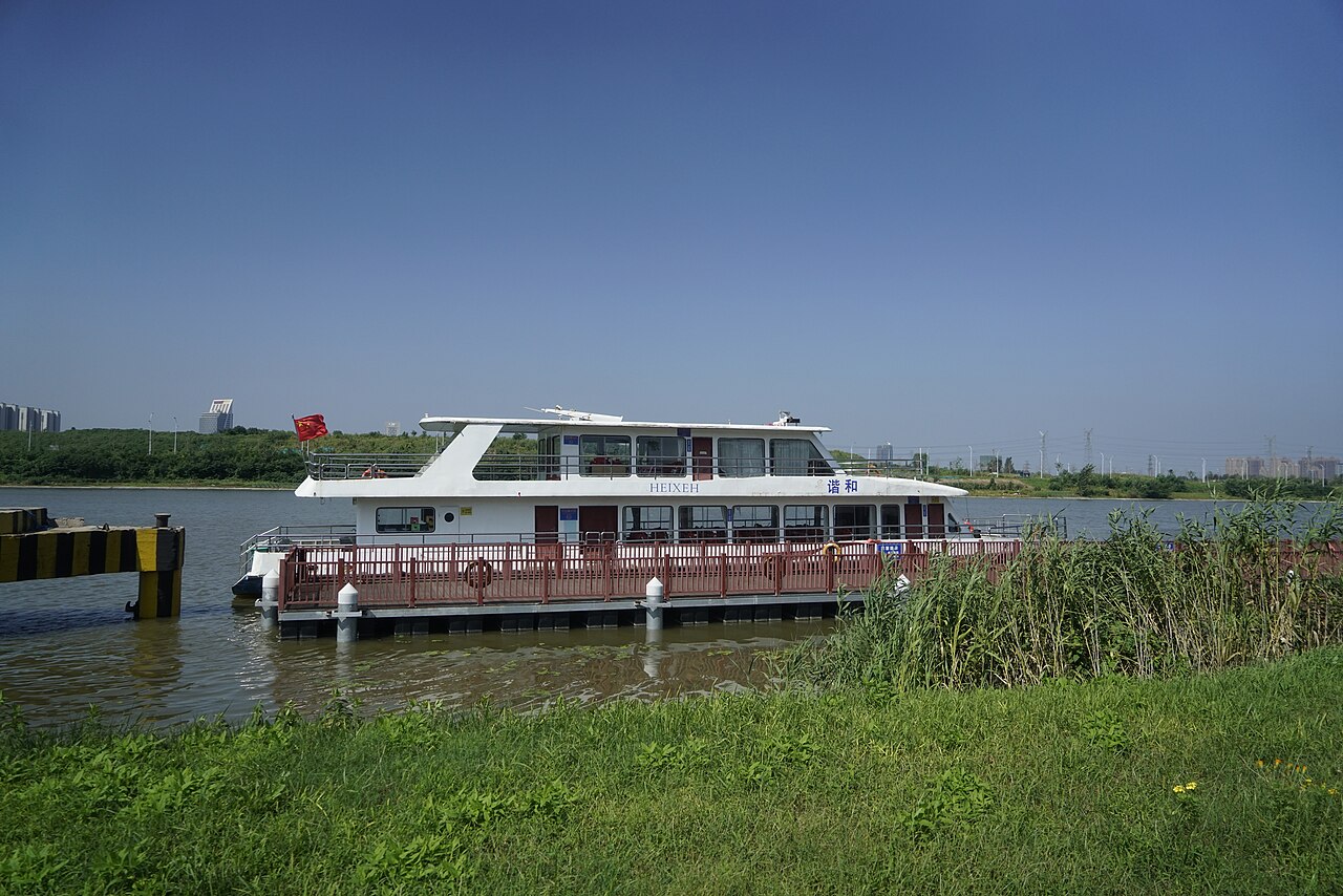
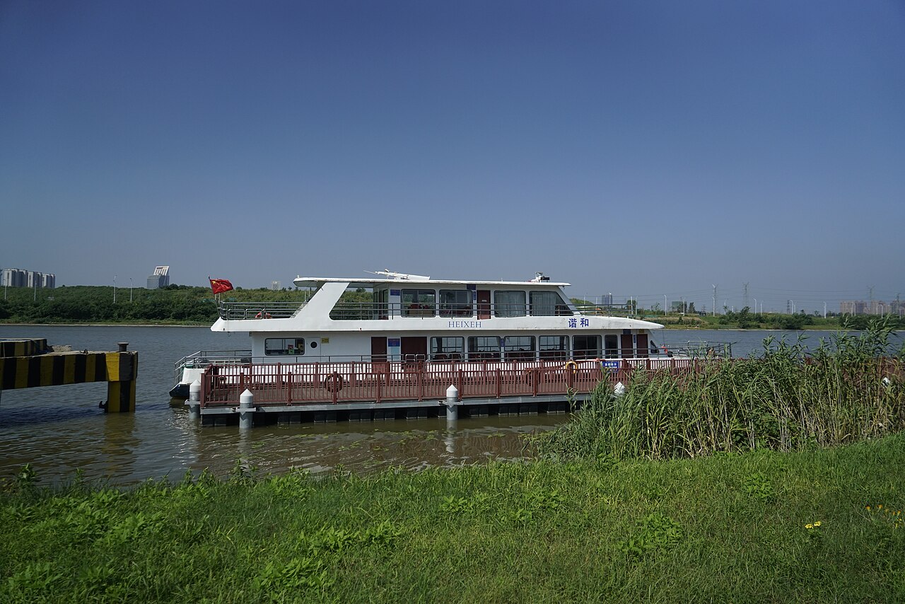
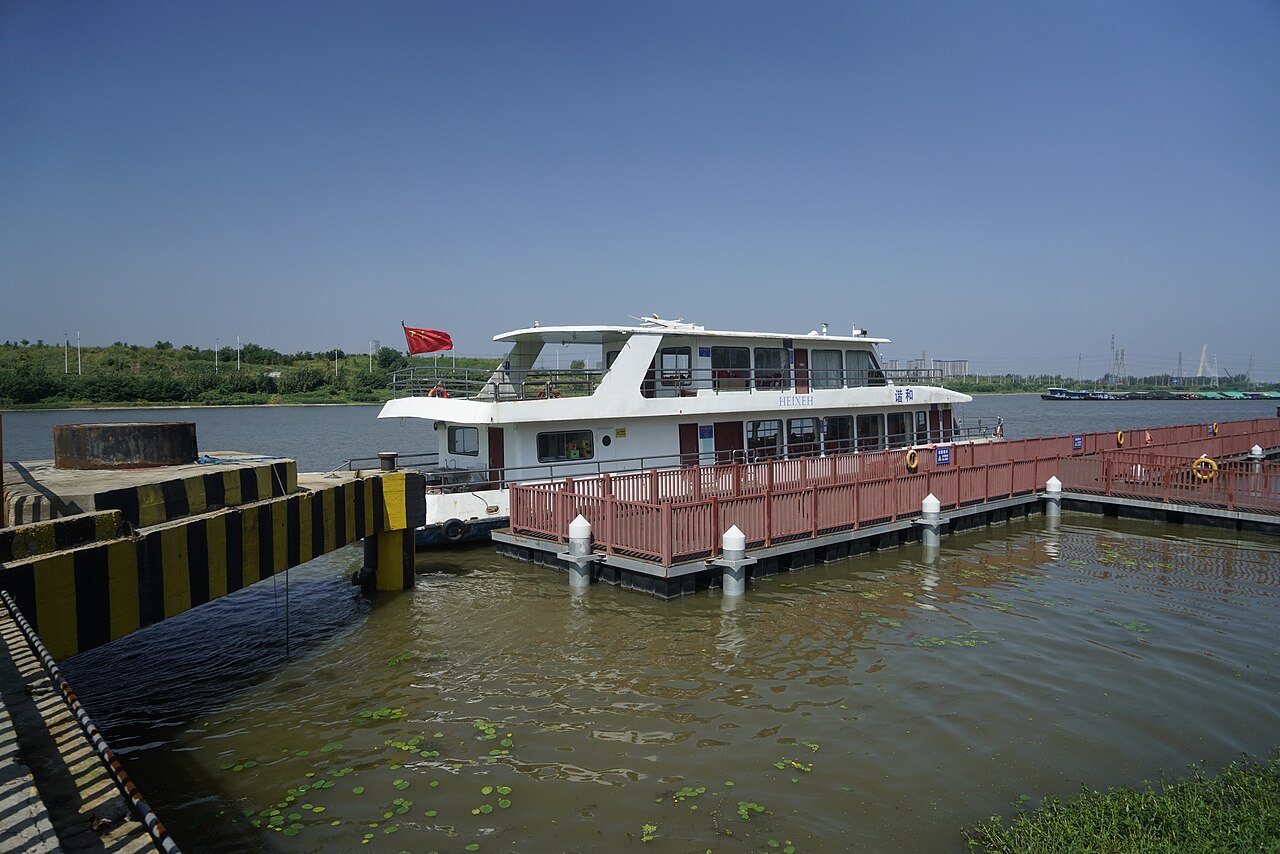
Frequently Asked Questions
What is Jining?
Jining is a prefecture-level city located in the southwestern part of Shandong province, China. It is globally recognized as the ancestral home of the philosopher Confucius.
Why is Jining historically important?
The city gave birth to both Confucius and Mencius, two of the most towering figures in East Asian thought. It also serves as a major setting in the classic novel Water Margin.
What is Jining's connection to the Grand Canal?
Jining marks the farthest northern point on the Grand Canal where boats can still navigate, which has long made it a significant inland port.
Where exactly is Jining located?
It sits in southwestern Shandong province in eastern China and functions as a prefecture-level administrative city.
What is the typical climate like in Jining?
The city enjoys a mild average temperature in the range of 13.3 to 14.1 °C, giving it a fairly temperate feel for the region.
More in Cities Starting With J 1-18
Spotted an error? Know more?
This is a living reference — every entry is fact-audited, and reader corrections feed straight into our audit queue. Suggest an edit · See this site's audit record